
 |
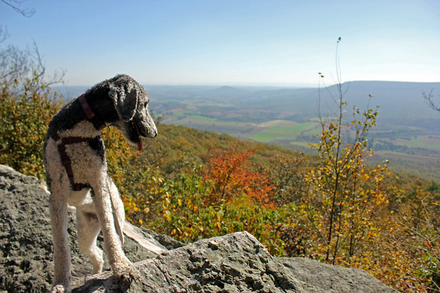
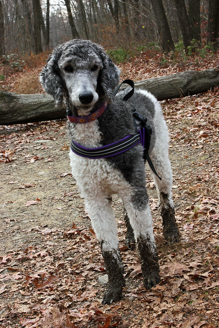
| Spectacular Poodle |
To backtrack, I hiked from Hawk Mountain Road (Parking Cords - 40.6337 -75.9608 If you ever want a great hike in either direction!)
to Tri-County Corner and back a few weeks ago and never posted about that.
This is photo intensive, so click "Read More" below to view the two hikes!
This is photo intensive, so click "Read More" below to view the two hikes!
We crossed a nice little stream, and it turned out to be the only water source we would see on our hike.
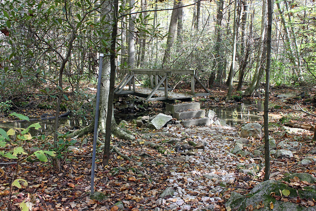
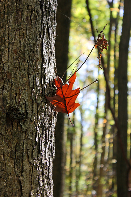
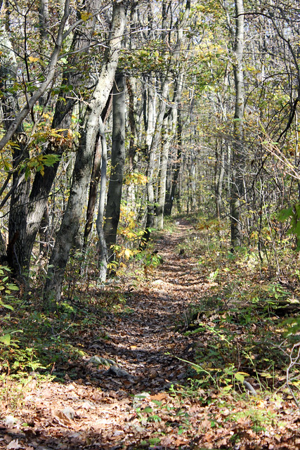
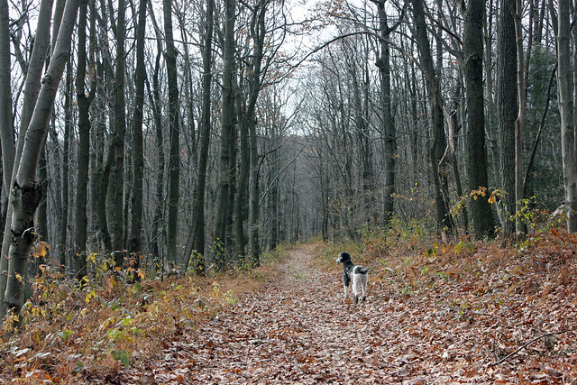
Fall was in the air.

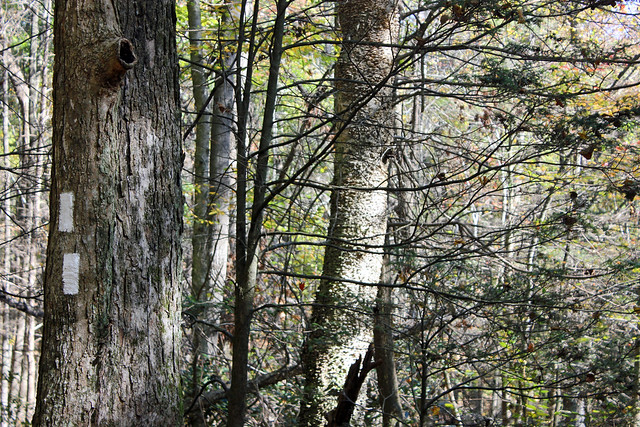
As ever with the AT, it wasn't long before we started to climb Up. Thankfully there were switchbacks.
I have visited Hawk Mountain a few times (by car!) and always wondered at how the AT hikers walk into it. Now I know!

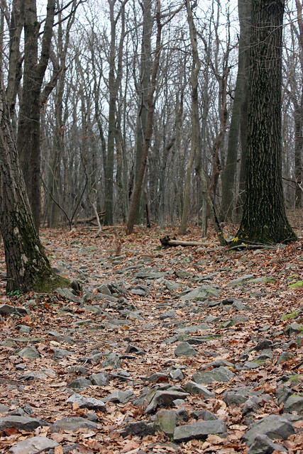
And of course, it wasn't long before we hit rocks to crawl over. Typical PA AT.

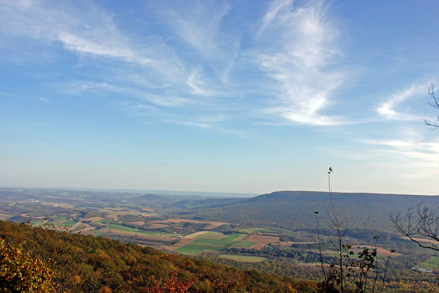
Our climb was rewarded by the overlook at "Dan's Pulpit". The pulpit is named in honor of Daniel K. Hoch. According to my guidebook Hoch helped found the Blue Mountain Hiking Club and held regular Sunday services at the pulpit.

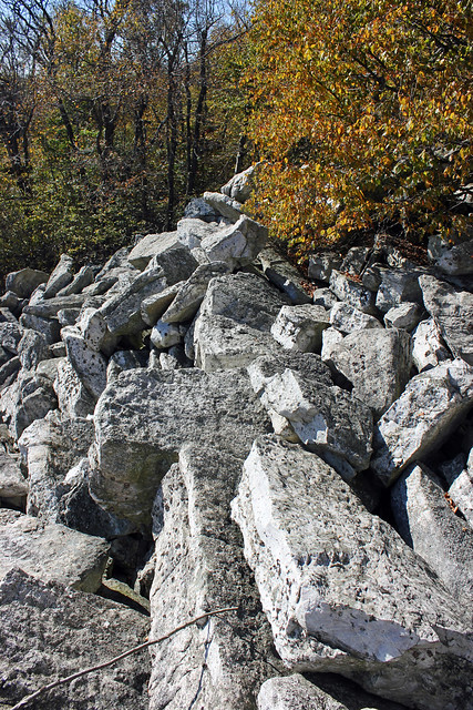
And onward. We unsurprisingly hit even larger rocks that only seemed to grow as we continued.


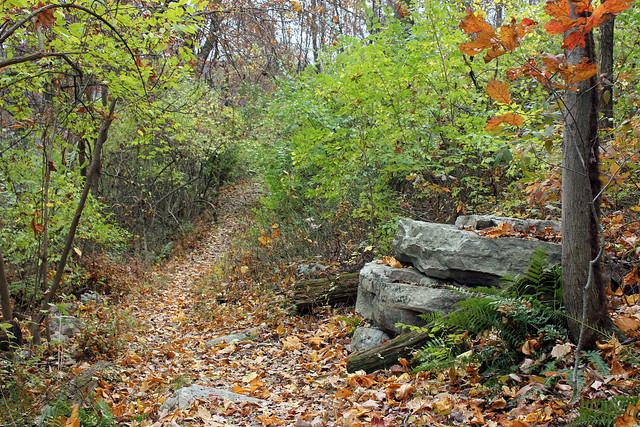
If the trail wasn't rocks it was all grown in like this. I can't imagine what it must be like in the summer. This is an area that I have seen rattlesnakes hanging out in on previous hikes, so I really do not enjoy brush growing close to the trail!

Then to the "Balanced Rock". I never saw any specific Balanced Rock, just more of a pile of large rocks. You know, more of a pile than the other rocks I had already seen.


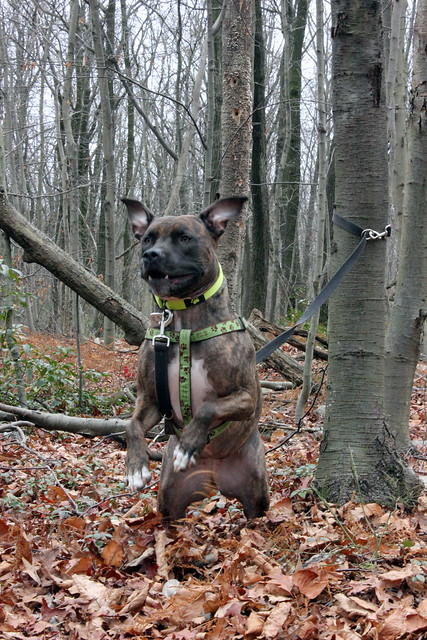
When it was time to leave our snack-time perch, Perri felt very nervous about jumping over a huge rock gap. When she was younger she was afraid of most everything that she had to jump over. But Ein, Molly and I just left her behind and she had to overcome. Today was no different, though I had her on a leash due to hunting season.
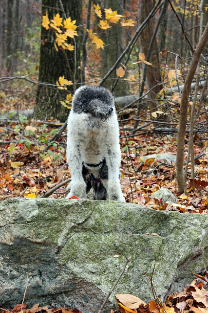
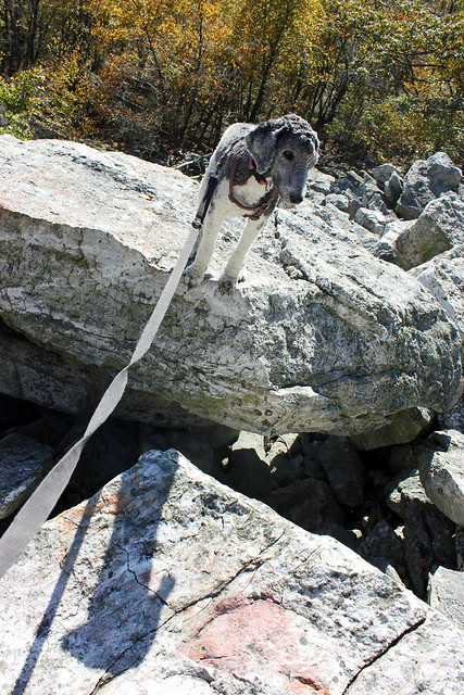 |
| Do Not Want. |
 |
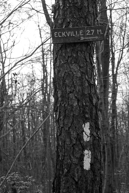
| And then the final stretch out to meet Tri County Corner. |
 |
| Out, and back again. |

So! That hike set us up for needing to hike 5.3 more miles to finish the section: Hawk Mountain Road to the Pinnacle. We did that yesterday!
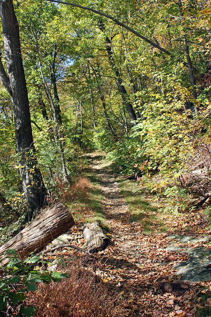
This was a great little hike. Yes, it was 10.6 miles. Yes, there was elevation gain. But the rocks were very minimal for most of the way, and the trail was mostly just a graded path since it was largely through the Gamelands.
 |
| It did go Up before long. |
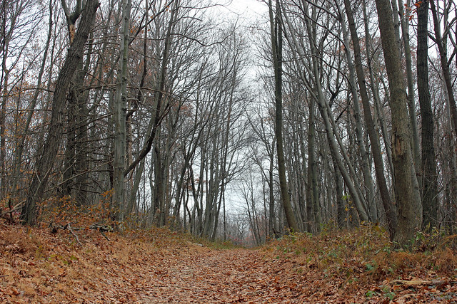
 |
| And then it got nice and domestic. My ankles were grateful. |
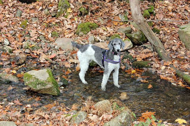 |
| Having a drink in Panther Spring. |
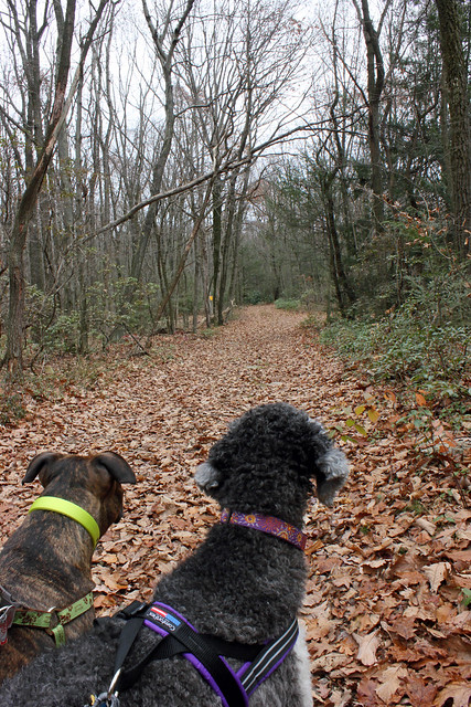 |
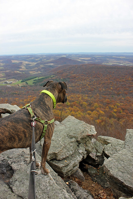
| This hike was mostly on lead, again because Hunting. |
We took a break for Perri to pose with my "Don't Shoot Me!" hat. Molly disapproves of being tethered!

 |
| Ahhhh, no rocks. |
 |
| Uh Oh! |
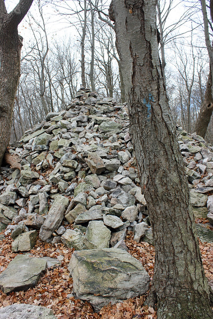 |
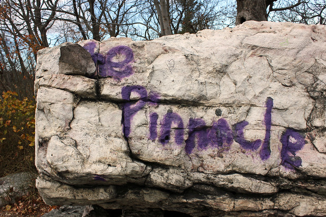
| The Pinnacle rock pile! |


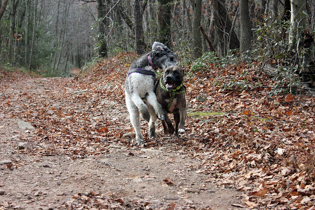 |
| Later on the coat and leashes came off. For a little while... |
The first way was by parking at the Hamburg Reservoir (40.583017, -75.942089) and hiking 4 rocky miles up (the Pulpit Rock view is along this route.) and then of course, 4 miles back.
The second way was from the Blue Rocks Campground. My husband and I hiked 1.5 rock miles up, then 1.5 miles around the rim of the mountain, then 1.5 miles back down (there is a trail back to the campground near the Pinnacle. It was ridiculously steep and unsafe.)
I think that the ideal Pinnacle hike would be to park at the Blue Rocks Campground and take the Pulpit Rock trail up and then follow the AT back to Hawk Mountain Road. That would be 9 miles and require two cars, however. With one car, I would prefer the 10.6 mile round trip from Hawk Mountain Road. Less rocks. It matters!
Hey, anyway you do it, the Pinnacle is worth some sweat and sore muscles.
No comments:
Post a Comment